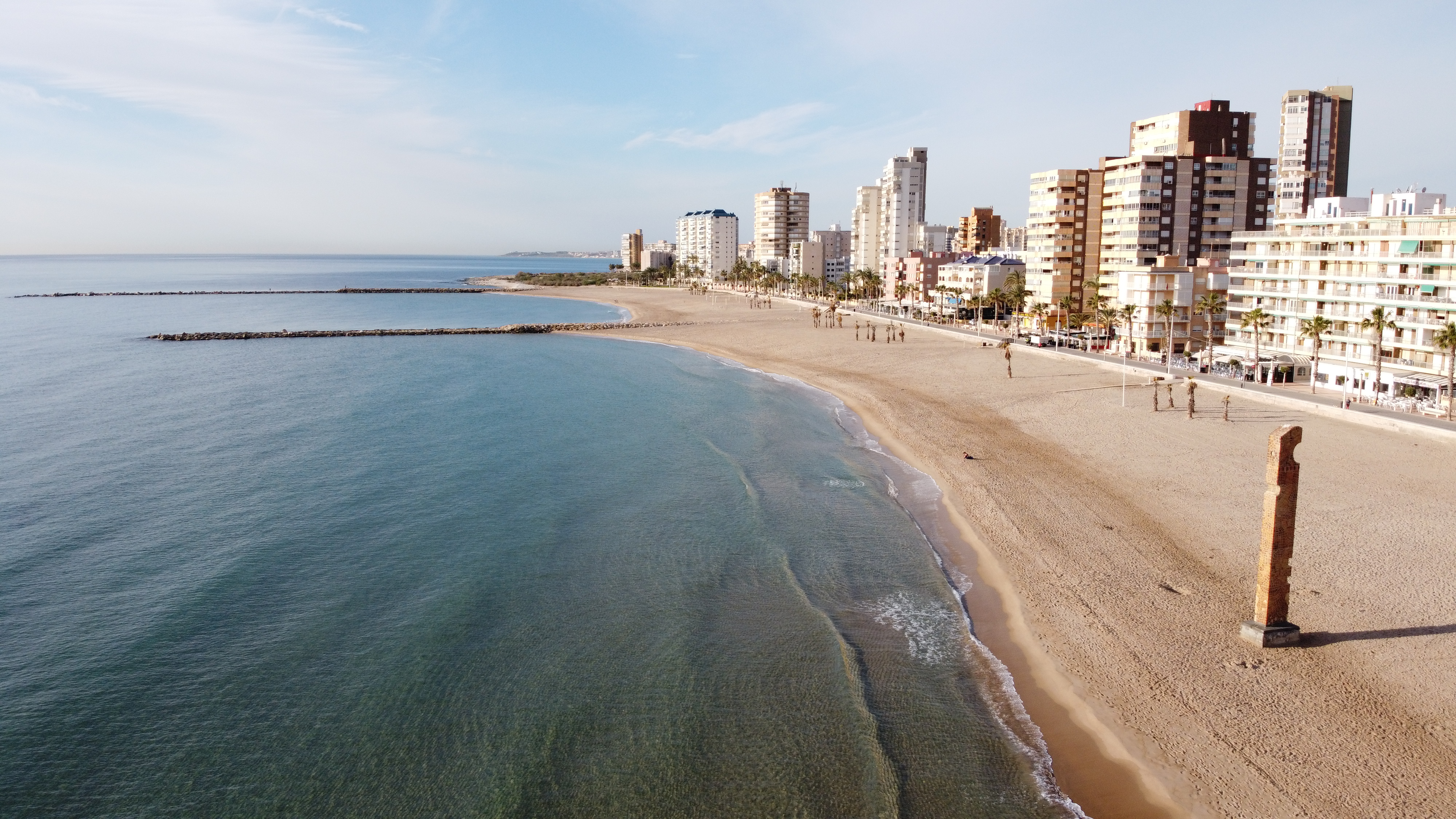
Carrer la Mar · El Campello
The whole coast at a glance
Beach, promenade and front line in one living map. Find access points, facilities and future places by the sea.
Interactive beta map
What are you looking for?
Select a marker or a place from the list below. The map shows its exact position and the card shows available details.
Official beach extent
Approximate length: 1.4 km
Подложка: OpenStreetMap / OpenFreeMap · координаты: Ayuntamiento de El Campello · EPSG:4326
Loading real buildings and coastline…
SEAFRONT · OPEN DATA
Places by the promenade
Choose a place from the list and the map will show its position. The data has not yet been personally verified.
Source of names and locations: OpenStreetMap contributors